Boundary Survey in San Antonio, TX
Need a boundary surveyor near you in San Antonio? Alliance Land Surveyors establishes exact property lines, recovers or sets corner markers, and delivers RPLS-sealed plats — starting at $400+tax with fast turnaround.
Get Your Boundary Survey Quote
Tell us about your property and project.
What Is a Boundary Survey?
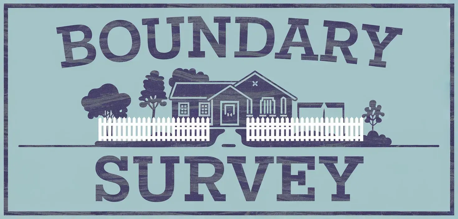
A boundary survey — also called a property line survey — is a professional measurement that establishes the exact legal limits of a parcel of land. The surveyor researches deed records, locates or sets physical corner monuments, and produces a sealed plat showing the property lines, dimensions, and area. In San Antonio, boundary surveys are prepared and sealed by a Registered Professional Land Surveyor (RPLS) licensed by the Texas Board of Professional Engineers and Land Surveyors.
Boundary surveys are the most fundamental type of land survey. They answer the question every property owner eventually asks: "Where exactly does my land start and end?" The answer matters for fences, construction, neighbor disputes, real estate transactions, and City of San Antonio permitting.
Unlike a simple lot staking (which only marks approximate corners), a boundary survey involves thorough deed research, precise field measurements using GPS and robotic total stations, mathematical verification of the boundary, and a sealed legal document you can rely on in court.
A boundary survey from Alliance includes:
Corner monuments — iron rods with caps, concrete monuments, or nails set at each property corner. Flagged with witness stakes and ribbon so they're visible above ground.
Property line dimensions — bearings, distances, and area (square feet and acreage) calculated from the deed description and field measurements.
Deed research verification — we confirm that your deed description, recorded plat, and physical boundary evidence all agree. If they don't, we identify and document the discrepancy.
Encroachment identification — fences, driveways, buildings, or other improvements that cross the property line are documented on the plat.
Easement locations — utility easements, drainage easements, and access rights-of-way that overlap the boundary are shown.
Sealed RPLS plat — a legal document accepted by title companies, lenders, courts, and the City of San Antonio permitting office.

When Do You Need a Boundary Survey in San Antonio?
A boundary survey is one of the most frequently requested land surveys in San Antonio. Here are the most common reasons property owners, buyers, and contractors order one.
Building a Fence
The #1 reason homeowners call us. A boundary survey marks your exact property lines so your fence contractor builds in the right place — not on your neighbor's land. See also: fence survey.
Neighbor Disputes
If your neighbor's fence, driveway, shed, or tree appears to be on your property, a boundary survey provides the objective, court-reliable documentation to resolve it. What to do if your neighbor is building on your land.
New Construction
Before you build an addition, pool, garage, or new home, a boundary survey confirms setback distances and ensures your improvements stay within your property lines and off easements.
Buying or Selling Property
Lenders and title companies often require a survey before closing. A boundary survey confirms the property matches its legal description and reveals encroachments that could affect the transaction.
Subdividing Land
Splitting a larger tract into smaller lots for sale or development starts with a boundary survey of the parent tract, followed by a platting survey for the subdivision.
Missing or Disturbed Markers
If your property corner stakes are gone — removed, buried, or disturbed during construction — a boundary survey recovers and resets them with documentation. Can my neighbor move my stakes?
How Much Does a Boundary Survey Cost in San Antonio?
Boundary survey costs depend on property size, terrain, deed complexity, and whether corners are recoverable. Here's a general breakdown of what to expect.
| Property Type | Typical Range | Key Factors |
|---|---|---|
| Standard subdivision lot (< 1/4 acre) | $400 – $600 | Recorded plat, accessible corners, flat terrain |
| Larger residential lot (1/4 – 1 acre) | $500 – $900 | More boundary length, possible brush or slope |
| Acreage (1 – 10 acres) | $800 – $2,000+ | Extensive fieldwork, deed research complexity |
| Large rural tracts (10+ acres) | $1,500 – $4,000+ | Difficult terrain, multiple adjoining tracts, missing monuments |
| Dispute-related survey | $600 – $1,500+ | May require additional research, adjoining deed analysis, expert documentation |
Why the range? Every property is different. Factors include lot size, vegetation, terrain, whether the original plat corners are recoverable, the age and quality of the deed description, and how many adjoining tracts must be researched. Alliance provides free, no-obligation quotes so you know the exact price before we start.
Get your free quote: Call (210) 369-9509 or email us with your property address.
How a Boundary Survey Works — Step by Step
Alliance follows a proven 5-step process to deliver accurate boundary surveys that hold up in court, pass title company review, and give you confidence in your property lines.
Request a Quote
Contact us with your property address, a copy of your deed (if available), and the reason for the survey — fence, dispute, closing, construction, etc. We provide a clear, upfront quote typically the same business day.
Deed & Records Research
Before fieldwork begins, our team researches the chain of title at the Bexar County Clerk's office. We pull your deed description, the recorded subdivision plat, adjoining deeds, recorded easements, and any prior surveys. This is the foundation of an accurate boundary — skipping it is how errors happen.
Field Survey & Corner Recovery
A licensed survey crew visits your property with GPS receivers and robotic total stations. They search for existing monuments at each corner, measure angles and distances along the boundary, and set new iron rods with caps at any corners that are missing or disturbed. Corners are flagged with witness stakes and ribbon.
Drafting & RPLS Review
Field data is imported into CAD software and drafted into a boundary survey plat. One of Alliance's two Registered Professional Land Surveyors reviews all calculations, verifies the boundary closure, and seals the document.
Delivery & Corner Staking
You receive the sealed survey plat via email (PDF) and physical mail. Property corners are marked on the ground with flagging. Our team is available to walk the boundary with you, answer questions, and provide certified copies for your title company, lender, attorney, or contractor.
Surveys That Work with Boundary Surveys
A boundary survey is often the starting point for other survey needs. Here's how it connects to other services we offer.
Fence Survey
If your primary goal is marking property lines before installing a fence, a fence survey is a boundary survey tailored specifically for that purpose — same accuracy, focused deliverable.
Property Survey
A broader survey that includes boundary lines plus improvements, easements, and encroachments. Often what title companies require for closings in San Antonio.
Topographic Survey
If you need elevation data for grading or construction design, combining a boundary survey with a topo survey in one project saves time and reduces total cost.
Encroachment Survey
Specifically documents structures or improvements that cross property lines. Built on boundary survey data with additional detail on the encroaching features.
Title Survey
Required for most real estate closings. Includes boundary lines plus all the information title companies and lenders need to issue title insurance.
Acreage / Farm & Ranch Survey
Boundary surveys for large rural properties. Same methodology, more extensive fieldwork and deed research across multiple adjoining tracts.
Boundary Surveys Across San Antonio & Bexar County
Alliance Land Surveyors provides boundary surveys throughout San Antonio and the surrounding communities. Our local knowledge of Bexar County plat records, deed history, and terrain means faster research and fewer surprises.
Don't see your area? Call (210) 369-9509. Full service area →
Boundary Survey FAQ — San Antonio
Request Your Boundary Survey Quote
Whether you need property line stakes for a fence, documentation for a neighbor dispute, or a boundary plat for a real estate closing, Alliance Land Surveyors has the experience, equipment, and licensed RPLSs to deliver an accurate boundary survey on your timeline.
Get Your Free Quote
Include your property address and project details.
Know Your Property Lines — Starting at $400
Call Alliance Land Surveyors for a free boundary survey quote in San Antonio.